The Technology Behind Autonomous Spacecraft Navigation
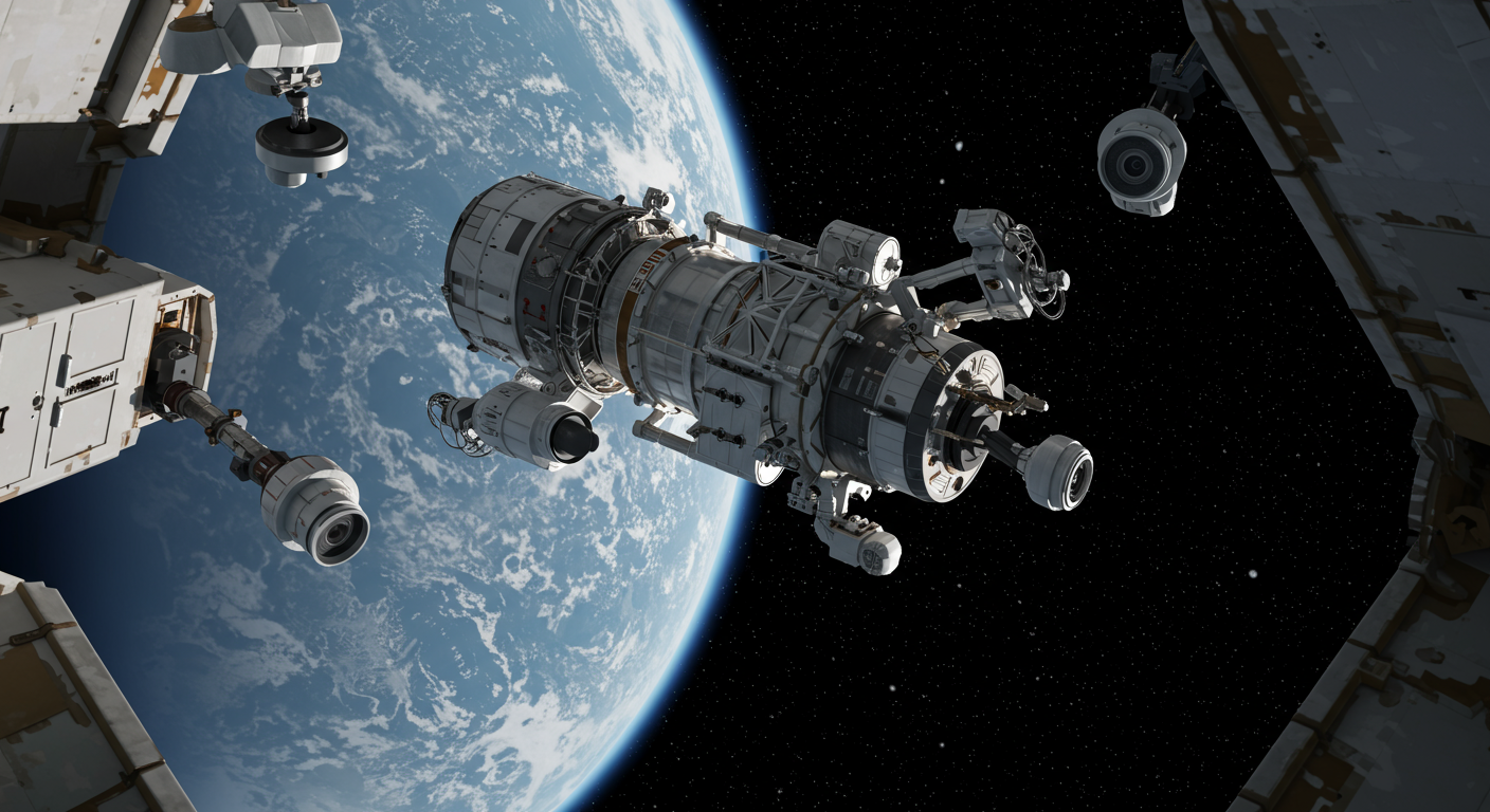
Autonomous spacecraft navigation allows a vehicle in space to sense its environment, estimate its position and motion, decide what to do next, and carry out those actions with limited help from human operators. It is not about a spacecraft “thinking for itself” in a science-fiction sense. It is about making reliable decisions fast enough to stay on course, protect itself, and complete mission objectives when Earth is too far away to manage every move in real time.
That capability is becoming more important as missions travel deeper into space, attempt precision landings, approach asteroids, and carry out complex rendezvous operations. Agencies such as the National Aeronautics and Space Administration and the European Space Agency increasingly treat autonomy as a core engineering capability that supports many kinds of missions, not a one-off experimental feature.
Why Spacecraft Need to Navigate Themselves
Continuous human control works poorly in space. Signals can take seconds, minutes, or longer to travel between Earth and a spacecraft, making joystick-style piloting impractical. Contact windows can also be limited by antenna availability, planetary alignment, or the spacecraft’s orientation. Even with a ground team constantly monitoring a mission, the spacecraft often has to react faster than humans can.
Autonomous navigation addresses that problem by combining onboard sensing and software. The spacecraft measures its orientation and motion, estimates where it is relative to its target, selects actions within mission rules, and executes maneuvers with minimal ground intervention. The exact level of autonomy varies by mission. A deep-space probe may autonomously refine its trajectory, while a lander may rely on autonomy mainly during descent, and a kinetic impactor may depend on it during the final approach to a target.
The Sensor Suite That Gives a Spacecraft Situational Awareness
A spacecraft can only navigate well if it can observe enough about itself and its surroundings. Core navigation sensors usually include star trackers, sun sensors, inertial measurement units, and cameras. Star trackers identify known star patterns to determine precise attitude. Sun sensors provide a simpler reference to the Sun’s direction. Inertial measurement units measure acceleration and rotation, helping the spacecraft track motion between external observations. Cameras support optical navigation, target tracking, and environmental awareness.
Additional sensors may be added depending on mission demands. Lidar and radar can be especially useful for landing, close-proximity operations, and hazard sensing because they help estimate range, relative velocity, and surface shape. No single sensor is enough on its own. Inertial sensors drift over time, cameras can be affected by lighting conditions, and reference sensors may have limited availability. Robust navigation comes from combining multiple streams of data so the system can compensate for the weaknesses of any one instrument.
How Onboard Software Turns Raw Measurements Into Position and Motion
Raw sensor readings are only the beginning. Navigation software has to turn those measurements into an evolving estimate of the spacecraft’s state, including attitude, velocity, position, and trajectory. This process is often called state estimation. It is one of the central tasks in autonomous navigation because every guidance and control decision depends on how well the spacecraft understands where it is and how it is moving.
Estimation software continuously fuses data from different sensors and applies filtering techniques to reduce uncertainty. That matters because inertial sensors accumulate error, optical measurements may be intermittent, and every observation contains noise. By comparing predictions with actual measurements, the software can correct drift and keep its internal model aligned with reality. In effect, the spacecraft is constantly updating its best estimate of both its current state and its likely near-future path.
Optical Navigation for Deep-Space Missions
Beyond Earth orbit, spacecraft cannot depend on a GPS-like infrastructure. That makes optical navigation especially valuable. In optical navigation, onboard cameras observe stars, planets, moons, asteroids, or other visual references, and software uses those images to estimate relative position and trajectory.
This approach is particularly useful for flybys, orbit insertion, and missions to small bodies where precise targeting matters. The National Aeronautics and Space Administration and the Jet Propulsion Laboratory have long used imaging-based navigation for deep-space operations, and those methods have become more autonomous over time as onboard processing improved. Instead of relying entirely on Earth-based calculations, the spacecraft can use what it sees to refine its path and respond to changing geometry during approach.
Optical navigation is not just about taking pictures. It depends on extracting meaningful features from images, comparing them with predicted views or known targets, and feeding those results into the broader navigation solution. That makes it a bridge between sensing, estimation, and guidance.
Terrain-Relative Navigation and Hazard Detection Near the Surface
When a spacecraft is descending toward a planetary surface, the challenge changes. It is no longer enough to know its broad trajectory. The vehicle needs to understand local terrain, determine where it is relative to the surface, and avoid dangerous landing areas.
Terrain-relative navigation helps solve this by comparing observed surface features against onboard maps or reference models. If the system recognizes craters, ridges, or other landmarks, it can determine where it is during descent even in environments where external navigation infrastructure does not exist. Hazard detection adds another layer by identifying unsafe landing zones such as steep slopes, large rocks, or rough terrain.
These capabilities matter most during landing and close-proximity operations, where the margin for error is small and the environment can change rapidly in the vehicle’s field of view. In those moments, onboard autonomy is often essential because waiting for instructions from Earth is not realistic.
Guidance, Navigation, and Control: The Full Decision-and-Action Loop
Autonomous spacecraft navigation is often described within the broader framework of guidance, navigation, and control, or GNC. Guidance determines the desired path or target state. Navigation estimates the spacecraft’s actual state. Control computes and applies the commands needed to reduce the gap between the two.
That loop turns awareness into action. If navigation software estimates that the spacecraft is drifting off course, guidance determines how to correct the trajectory, and control commands the hardware to do it. Depending on the mission, that hardware may include thrusters for translational maneuvers and reaction wheels for attitude adjustments.
This integration is what makes autonomy useful. A spacecraft that can sense but not act is limited, and one that can act without accurate state estimation is dangerous. Effective autonomy depends on tight coordination between measurement, planning, and actuation.
Fault Management Keeps Autonomy Safe
Autonomy also needs guardrails. Space is unforgiving, and a spacecraft may have to deal with sensor dropouts, communication interruptions, thermal issues, or unexpected behavior without immediate human support. Fault management provides the safeguard layer that keeps the mission resilient.
This typically includes fault detection, isolation, and recovery. The spacecraft monitors itself for anomalies, determines which subsystem may be responsible, and executes predefined responses. Those responses can include switching to backup components, reconfiguring software, pausing a maneuver, or entering a safe mode that preserves power and communications while awaiting further instructions.
Without this layer, autonomy would be far riskier. A spacecraft that can make decisions but cannot recognize when something has gone wrong would be vulnerable to escalating errors. In practice, robust autonomy means not just completing the planned task, but also handling off-nominal situations in predictable ways.
What DART Shows About Autonomous Navigation in Practice
The National Aeronautics and Space Administration’s Double Asteroid Redirection Test, or DART, is a clear example of autonomous navigation applied to a specific mission objective. The spacecraft was designed to autonomously target and impact Dimorphos, the moonlet of the asteroid Didymos, demonstrating terminal guidance in a real deep-space encounter.
In its final phase, DART relied on onboard vision and guidance to identify and steer toward its target rather than being manually piloted from Earth in real time. That is exactly the kind of task where autonomy matters most: the geometry changes quickly, communications are delayed, and precision is essential.
DART is a useful case because it grounds the discussion in a documented mission rather than abstract promises. It shows that autonomous navigation is most credible when tied to clearly defined objectives, mission constraints, and engineering systems built for a particular environment.
Where AI Fits In and Where Hype Should Be Avoided
Artificial intelligence and machine learning are increasingly discussed in connection with spacecraft autonomy, but the practical picture is narrower and more specific than the hype often suggests. In current space systems, AI-related methods are more plausibly applied to perception, classification, planning support, and adaptive operations than to unrestricted independent mission control.
Materials from the National Aeronautics and Space Administration, the European Space Agency, and the Jet Propulsion Laboratory generally describe a progression of onboard capability rather than a leap to fully self-directed spacecraft. The most mature systems still depend on carefully bounded goals, verified software behavior, and mission-specific constraints. That is especially important in spaceflight, where explainability, reliability, and fault tolerance matter as much as raw performance.
So while AI may improve how spacecraft interpret imagery, detect hazards, or optimize decisions under uncertainty, it is best understood as an added tool within autonomy architectures, not a replacement for the broader engineering stack of sensors, estimation, GNC, and fault management.
Autonomous Navigation Is Becoming Core Space Infrastructure
Across mission types, the same pattern keeps appearing. A spacecraft needs sensors to observe, software to estimate its state, guidance logic to choose a path, control systems to execute maneuvers, and fault management to remain safe when conditions change. Together, those pieces form a reusable technology stack for operating farther from Earth and with greater precision.
That is why autonomy is increasingly treated by major space agencies as infrastructure rather than novelty. Whether the mission is a deep-space probe, a planetary lander, an asteroid encounter, or a future robotic explorer in a difficult environment, onboard navigation capability is becoming central to what makes those missions feasible.
As exploration pushes toward more distant destinations, smaller targets, and more demanding landing sites, autonomous navigation will likely continue to expand. The underlying goal is straightforward: give spacecraft the ability to understand where they are, respond intelligently to what they observe, and carry out mission tasks when humans are too far away to help in time.