LiDAR Technology Reveals Vast Archaeological Potential at San Francisco de Pachijal
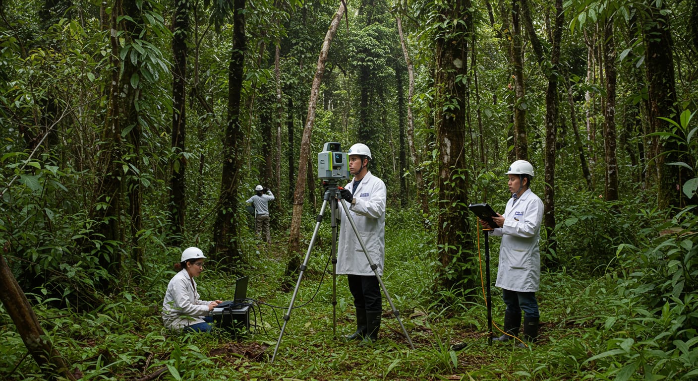
Deep in Ecuador's challenging terrain, cutting-edge technology is unveiling what may be one of the most significant archaeological discoveries in recent years. LiDAR mapping has successfully surveyed 600 hectares around San Francisco de Pachijal, but perhaps most remarkably, this extensive area represents merely 2 percent of the total site under investigation.
When Modern Technology Meets Ancient Mysteries
Light Detection and Ranging (LiDAR) technology has transformed archaeological research worldwide, especially in regions where thick vegetation hides ground-level exploration for centuries. This laser-based remote sensing method creates detailed three-dimensional maps by measuring distances with laser light, effectively "seeing through" forest canopies that have concealed archaeological treasures.
For researchers working in Ecuador's dense jungle environments, LiDAR offers game-changing advantages over traditional archaeological survey methods. While ground-based excavation and mapping remain essential for detailed analysis, they can take decades to cover areas that aerial LiDAR mapping accomplishes in weeks.
Ecuador's Archaeological Treasure Trove
Ecuador's archaeological landscape has yielded numerous significant discoveries over the decades, each piece adding to our understanding of the sophisticated pre-Columbian civilizations that once flourished in South America. Sites across the region have revealed complex societies with intricate agricultural systems, elaborate ceremonial centers, and extensive trade networks that connected distant communities.
San Francisco de Pachijal represents the latest frontier in this ongoing exploration. The site's remote location has likely contributed to its remarkable preservation, but also presents significant challenges for researchers attempting to access and study the area comprehensively.
What the Initial Survey Reveals
While researchers continue analyzing the complete LiDAR data, preliminary surveys of the 600-hectare area suggest the presence of structural features and landscape modifications that point to significant human activity in pre-Columbian times. The technology's ability to reveal subtle elevation changes and geometric patterns has proven invaluable in identifying potential archaeological features hidden beneath centuries of jungle growth.
The identification of organized structures, terracing, or ceremonial complexes within this initial survey area could have profound implications for understanding the scale and sophistication of ancient Ecuadorian societies.
A Discovery of Unprecedented Scale
The revelation that 600 hectares represents only 2 percent of the total site suggests San Francisco de Pachijal could rank among the largest archaeological complexes ever discovered in South America. To put this in perspective, major sites like Peru's famous Machu Picchu cover significantly smaller areas, making the potential scope of this Ecuadorian site truly extraordinary.
If the remaining 98 percent of the site yields similar archaeological features, researchers may be looking at evidence of a previously unknown major civilization or an extensive network of connected settlements that could completely reshape current theories about pre-Columbian South America.
The Road Ahead
Completing a comprehensive survey of such a massive site presents substantial challenges that extend far beyond the technical. LiDAR technology, while revolutionary, requires significant financial resources and specialized expertise. International collaboration often proves essential for projects of this magnitude, bringing together researchers, technology specialists, and funding from multiple institutions across the globe.
The logistical hurdles of accessing remote Ecuadorian sites add another layer of complexity. Transporting equipment through challenging terrain, establishing base camps in jungle environments, and coordinating respectfully with local communities require careful planning and substantial resources.
Future research phases will likely involve ground-truthing the LiDAR findings through targeted excavations, detailed mapping of identified features, and careful analysis of any artifacts recovered from the site. This painstaking process could take years or even decades to complete fully, but each discovery brings us closer to understanding Ecuador's rich archaeological heritage.
The San Francisco de Pachijal project represents more than just another archaeological survey—it embodies the incredible potential for modern technology to reveal hidden chapters of human history. As researchers continue analyzing the initial findings and planning for comprehensive exploration of the remaining site area, the archaeological community eagerly awaits what could be groundbreaking revelations about Ecuador's ancient past and the sophisticated civilizations that once called this land home.