LiDAR and the Chocó Andino: A reported discovery that could reshape Ecuador’s deep past
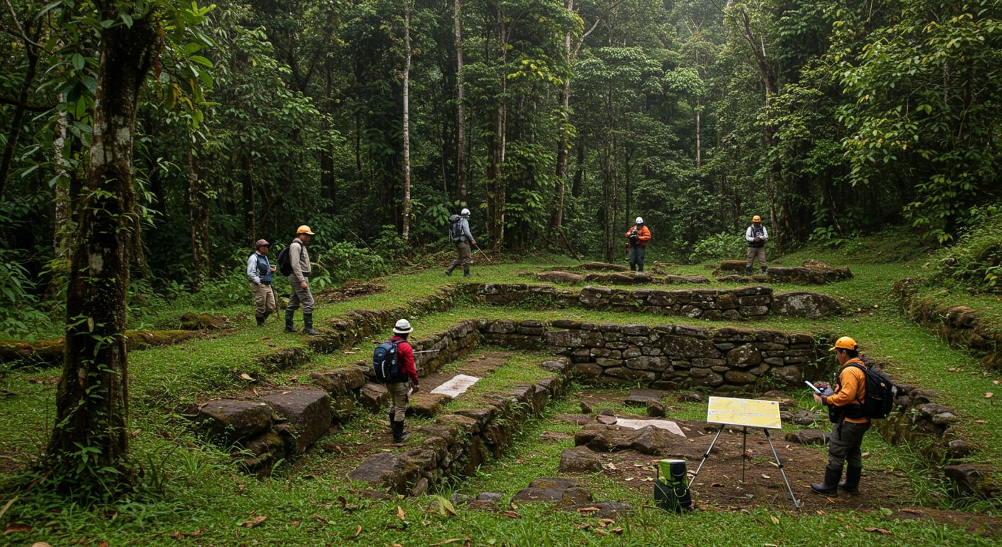
The Chocó Andino is usually described through its cloud forests, wildlife, and extraordinary biodiversity. But a newly reported LiDAR finding suggests the region may also deserve much more attention as a major archaeological landscape. If the headline figures hold up under fuller documentation, they could significantly change how people understand pre-Hispanic settlement in northwestern Ecuador.
At the same time, caution matters. The key quantitative claims in this story, including the idea that LiDAR identified roughly five times more pre-Hispanic structures than previously recorded and that only about 2% of the area has been surveyed, were not directly verified in the material available for this draft. That makes this less a settled archaeological conclusion than an important reported development worth watching closely.
A New Look at an Old Landscape
For many readers, the Chocó Andino is associated more with conservation than archaeology. Dense vegetation, steep terrain, and persistent cloud cover help explain why large-scale mapping of past human settlement has lagged behind work in more open landscapes. That is also why LiDAR has the potential to change the conversation.
Remote sensing can reveal patterns that are hard to recognize from the ground alone. In forested regions, what looks like uninterrupted terrain may actually hide terraces, platforms, pathways, embankments, and clustered habitation areas shaped by people over long periods of time. If researchers are now beginning to detect that kind of pattern in the Chocó Andino, the implications could be substantial.
What LiDAR Appears to Have Revealed
The central claim is striking: LiDAR mapping reportedly identified far more pre-Hispanic structures in the Chocó Andino than had previously been documented through conventional survey. In headline form, that has been framed as roughly five times more structures, despite coverage of only a very small portion of the broader landscape.
Those numbers matter because they suggest the current archaeological map of the region may be highly incomplete. But they also require careful wording. A LiDAR anomaly is not automatically the same as a confirmed archaeological site, and a detected feature is not always identical to a fully interpreted structure. Until field verification, dating, and formal reporting are available, the figures are best understood as reported findings rather than final counts.
Why LiDAR Changes the Archaeological Picture
LiDAR, short for Light Detection and Ranging, works by sending laser pulses and measuring how they return from the landscape below. In heavily forested areas, that allows researchers to build a model of the ground surface that can highlight subtle geometric patterns often hidden by vegetation. In practical terms, it helps archaeologists see through the forest canopy without removing it.
That capability is especially important in places like the Chocó Andino. Traditional archaeological survey in cloud forest conditions can be slow, expensive, and limited by access. Ground teams may document individual sites or visible features, yet still miss the larger spatial organization of a cultural landscape. LiDAR often changes that by showing how isolated-looking finds may belong to broader settlement systems.
Across tropical archaeology, this has been one of the technology’s most important contributions. It does not replace excavation or fieldwork, but it can dramatically improve the questions researchers ask and the places they choose to investigate next.
Why the 2% Figure Matters So Much
If the reported 2% survey figure is accurate, it may be the most important part of the story. That number suggests the current picture is still preliminary and that what has already been identified could represent only a small sample of a much larger human landscape.
In other words, the excitement is not just about a higher structure count. It is about scale. A small surveyed footprint producing a large increase in documented features raises the possibility that pre-Hispanic occupation in the region was more extensive, more organized, or more interconnected than earlier records suggested.
Still, there is a difference between possibility and proof. Detection from the air is the beginning of archaeological interpretation, not the end of it. Features must be checked on the ground, compared with known site types, and placed in chronological and cultural context before stronger conclusions can be made.
What This Could Mean for Ecuador’s Pre-Hispanic History
If follow-up work supports the reported findings, the implications could extend beyond one region. A denser or more extensive settlement footprint in the Chocó Andino would influence how scholars think about population distribution, land use, movement through forested terrain, and connections between ecological zones in pre-Hispanic Ecuador.
It could also add to a broader pattern seen in tropical archaeology: landscapes once assumed to be sparsely occupied sometimes turn out to preserve complex and long-lasting forms of human modification. LiDAR has repeatedly pushed archaeologists to reconsider what intensive occupation looked like in forest environments, and the Chocó Andino may become part of that larger story.
Even so, interpretation depends on much more than remote sensing. Archaeology advances through verification: ground survey, excavation, dating, environmental analysis, and close collaboration with Ecuadorian researchers, institutions, and local communities. Without that work, maps remain suggestive rather than conclusive.
The Tension Between Discovery and Verification
Stories like this naturally attract attention because they hint at something dramatic: a landscape hiding far more history than many people realized. But archaeology often moves in stages, and headlines can outrun evidence when early findings circulate before a formal paper, institutional release, or detailed technical summary is publicly available.
That is why it is worth being precise with words such as found, revealed, and surveyed. LiDAR may indicate probable human-made features, but confirmation usually comes later. In this case, the most responsible framing is that a potentially major discovery has been reported, not that every part of the claim is already settled.
Why This Story Resonates Beyond Archaeology
For many people living in or connected to Ecuador, the appeal of this story is larger than the technical details. It speaks to cultural memory, heritage protection, and the possibility that familiar landscapes still contain histories that have not yet been fully seen or understood.
For an expat readership, that sense of place matters. Ecuador is often experienced in the present tense through cities, food, travel, politics, and everyday life. But stories like this are a reminder that the country also holds deep time beneath the surface, and that new technology can change how those older human worlds come into view.
In the end, the most compelling part of the Chocó Andino LiDAR story may not be the exact multiplier or percentage, at least not yet. It may be the larger idea behind them: that even in a landscape long known for its natural richness, much of the human past may still be waiting to be recognized.