A Reported LiDAR Discovery Near Quito Inspires Wonder and Caution
Some headlines instantly make the landscape around you feel different. A reported LiDAR discovery of a possible Yumbo site with hundreds of mounds in cloud forest just an hour from Quito is one of them. For people living in Ecuador, especially newcomers still discovering how deep the country’s history runs, a claim like that can transform a familiar region into something much more mysterious.
At the same time, the material provided here does not confirm the story. No supporting sources were included, so the most responsible response is to treat it as an intriguing report, not an established archaeological finding.
Why This Story Grabs Attention
If true, the idea of a major pre-Hispanic site so close to Quito would matter far beyond archaeology. It would suggest that places many people know for weekend drives, misty hillsides, and green mountain roads may also hold traces of older human worlds that are still only partly understood.
That helps explain why stories like this resonate with expats. Many people first fall in love with Ecuador through its scenery and daily rhythms. Only later do they begin to see how layered the country is, with Indigenous histories, trade routes, sacred landscapes, and settlement patterns woven into terrain that can seem purely natural at first glance.
Still, wonder is not the same as proof. A compelling headline should spark curiosity, not certainty.
What the Claim Says
The reported claim includes several specific details: LiDAR identified a possible Yumbo site, the area contains around 200 mounds, and it lies in cloud forest roughly an hour from Quito. Those points are precise enough that they would need confirmation from primary research, named investigators, institutional reporting, or other credible documentation.
Without that, it is better not to describe the place as a confirmed lost city. Based on the materials provided, the more accurate phrasing is that a striking claim is circulating about a possible archaeological finding near the capital.
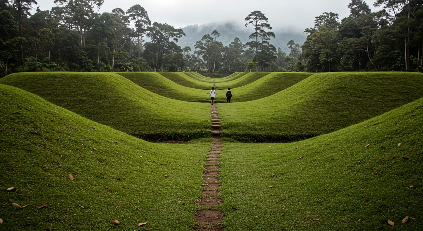
Why LiDAR Changes How Hidden Landscapes Are Seen
LiDAR is a remote-sensing method that uses laser pulses to map the shape of the ground and vegetation. Put simply, it helps researchers detect patterns in a landscape that may be difficult to spot from the ground, especially in heavily vegetated areas.
That matters in cloud forest terrain, where dense cover can conceal terraces, pathways, embankments, mound-like forms, and other possible human-made features. A hillside that looks irregular to the eye can appear much more structured in detailed elevation data.
But LiDAR is not the same as final interpretation. It can point to patterns consistent with human activity, yet archaeology still depends on careful analysis, comparison, and, ideally, field verification. A digital map may open exciting possibilities, but it does not by itself determine what a site is, who built it, or when it was used.
Who the Yumbos Are in Regional Memory
The Yumbos are part of the historical memory of the Quito region and the western slopes. They are often associated with movement, exchange, and settlement across ecological zones linking the highlands with lower, more humid areas to the west.
That broader context is one reason the report feels plausible enough to attract attention. The landscapes around Quito were not isolated. They formed part of older corridors of travel, trade, and human adaptation across dramatically different elevations.
Even so, regional history should not be used to confirm a specific site without evidence. It can offer context, but not certainty. Any ancestral landscape connected to Indigenous heritage also deserves careful and respectful treatment rather than sensational labels.
What a Discovery Near Quito Would Mean for Expats and Residents
For people living in or near Quito, proximity changes everything. A major reported discovery in the nearby cloud forest would not feel distant or abstract. It would suggest that ordinary routes, familiar viewpoints, and weekend destinations may sit within a much older cultural geography.
For many expats, this reflects a deeper relationship with Ecuador that develops over time. What begins as admiration for volcanoes, valleys, markets, and neighborhoods can gradually become a more serious appreciation of the histories embedded in the land itself.
Handled carefully, stories like this can deepen that connection to place. They encourage humility. They remind residents that they are living in landscapes shaped not only by nature, but by generations of people whose presence is not always visible at first glance.
The Risks of Viral Archaeology Headlines
The phrase lost city is powerful, but it can blur important distinctions. It compresses uncertainty into drama. It makes preliminary evidence sound complete and can lead readers to assume that researchers have confirmed more than they actually have.
That is especially true when a report includes exact-sounding details such as the number of mounds, a cultural identification, or a precise location, but does not provide the underlying documentation. Claims like those should be supported by named researchers, institutional affiliations, methods, maps, dating evidence, and on-the-ground findings.
Without that support, the story may still be interesting, but it should be read as an unverified claim rather than settled fact.
What Evidence Would Make the Story Solid
To evaluate a report like this, readers should look for confirmation from archaeological institutes, university teams, official heritage agencies, peer-reviewed papers, or credible science reporting that clearly identifies its sources.
The most useful coverage would include the names of researchers, an explanation of how the LiDAR data was collected and interpreted, maps or images showing the reported features, and evidence from fieldwork. If the claim links the site to a specific culture, readers should also expect an explanation of how that identification was made.
Until that kind of information appears, the story is best understood as a compelling possibility that still awaits verification.
How to Stay Curious Without Overstating the Facts
There is nothing wrong with being captivated by the idea. Ecuador rewards curiosity, and part of its appeal is the sense that even well-known places can still hold unanswered questions. But responsible storytelling means letting evidence lead.
For now, the fairest conclusion is simple: the claim is fascinating, but unconfirmed based on the materials provided. If stronger sourcing emerges, it could become a remarkable example of how new tools are reshaping our understanding of old landscapes.
Until then, perhaps the best response is also the most respectful one: stay interested, stay cautious, and keep seeing Ecuador not as a finished map, but as a living place with histories still coming into view.